Our motto: Hike more, worry less…
About
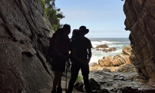
The Otter is an iconic hike that is known worldwide. Experience the outdoors and the beauty of the coast at it’s best. Maximum 12 pax per hike.
You need to have a medium to high fitness level in order to do the Otter trail.
The trail is named after the Cape Clawless otter, which, if you are lucky enough you will spot one or more of these fellows! The trails starts at the Storms River Mount Rest Camp and ends at Natures Valley in the De Vasselot section of the park.
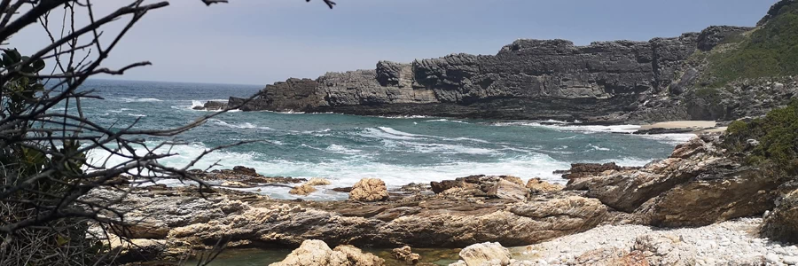
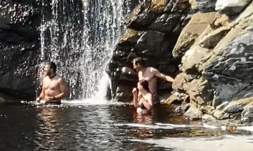
Most of the area along the trail is covered in coastal forest and hearing the roar of the ocean most of the time.
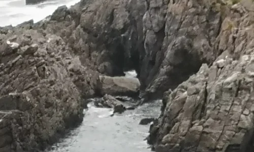
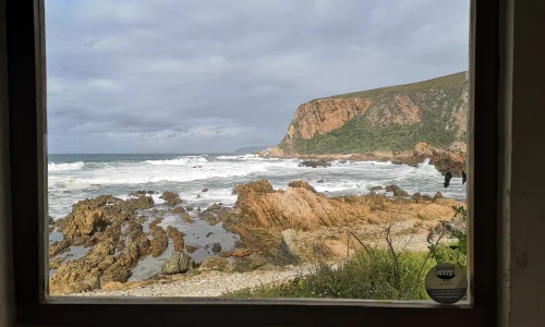
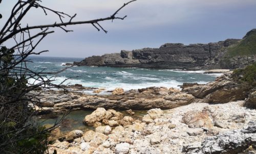
The scenery along the trail is spectacular to say the least with the pounding surf and sheer cliffs dropping directly into the sea in places.
It is important to check the tidal times to cross the Lottering River on Day 3 and the Bloukrans River on day 4. It is especially important to cross the Bloukrans River within half an hour of low tide otherwise you are in for a difficult swim.
There are escape route along the Otter trail.
The Trail
The trail is 5 days and 4 nights. The following distances and durations are as follows:
- Day 1 = 4.8km (± 2 hours) – Storms River Mount to Ngubu Hut
- Day 2 = 7.9km (± 4 hours) – Scott Hut
- Day 3 = 7.7km (± 4 hours) – Oakhurst Hut
- Day 4 = 13.8km (± 6 hours) – Andre Hut
- Day 5 = 10.8km (± 5 hours) – Natures Valley. Depart
- Total Distance = 45km
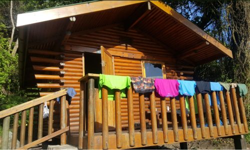
Accommodation
Huts
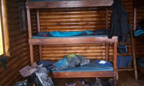
- There are two huts and a single toilet at each overnight stop. Each of the two huts contains 6 beds with mattresses. Each hiker must provide their own blankets/pillows/sleeping bags etc.
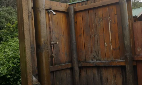
- No hot water is provided at the huts – cold showers and flush toilet at each hut.
- Bring own cutlery, crockery, pots and pans, small gas stoves.
- Firewood is provided.
- Rubbish bins are provided at each of the overnight stops.
- Field rangers remove the rubbish regularly.
- There are benches present.
- Please only use biodegradable soaps on the trail.
- Hikers are not permitted to remove mattresses from the huts.
Water
There are numerous streams and springs throughout the length of the Otter Trail that are suitable for drinking purposes. Please note though that water from the Kleinbos River is not suitable for drinking (2nd day of trail). However, it may be wise to use purification tablets especially if you are not used to this water and where streams/rivers pass through communities such as the Coldstream/Witels River (3.6km mark of the 4th day) and the Lottering River (7.5km mark of the 4th day). There are rainwater tanks at each overnight hut that may also be used. However, due to erratic rainfall patterns, the level of these tanks may be low from time to time. Water quality is monitored on a quarterly basis.
Firewood
Firewood is provided, however it is not covered from rain and therefore may be wet. Hikers are required to carry their share of wood from a woodpile, close by on the trail. However, it sometimes happens that there is a buildup of excess wood not used by previous hikers that is placed under the steps of the huts, which is usually dry.
Cooking facilities
Each hut has a braai place with a sturdy steel grid. Within each hut there is a table on which food can be prepared. Hikers need to provide their own gas stoves and pots for cooking.
Tides
It is important to be aware of the dates and the times of the high and low tides prior to hiking the Otter Trail. This is especially important when it comes to crossing the bigger rivers such as the Elandsbos and the Bloukrans Rivers. It is the hiker’s responsibility to obtain tide tables in order to prepare for their hike.
The Bloukrans River Crossing
The Bloukrans River crossing is on the 4th day of the Otter Trail. It is approximately 10km from Oakhurst Hut that takes about four and half hours (4.5) to reach. This river is best crossed during low tide. Once the river has been crossed it is approximately another 3.8km (two and a half hours) to the next overnight stop. It is wise to arrive well before low tide, so that enough time is available to plan your crossing.
If you are unable to cross the river, you can take the escape route labeled E6. This escape route branches to the right of the trail just before the Otter Trail descends to the Bloukrans River Mouth. The escape route climbs steeply to the top of the plateau. In the case of an emergency, hikers are advised to make their way to the top of the escape route and wait for collection by SANParks Rangers once contact has been made. Do not attempt to walk to the N2.
Gallery:

Price Available On Request
Contact 082 663 6168 or 064 523 1807
Email info@ecotrail.co.za
Disclaimer
All information adapted with permission of owner